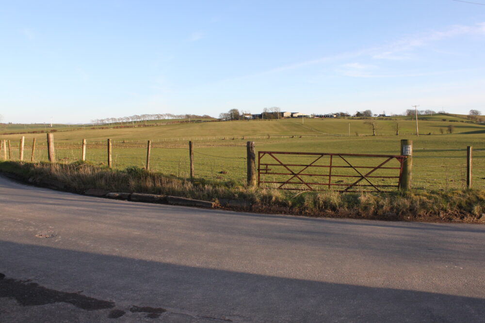
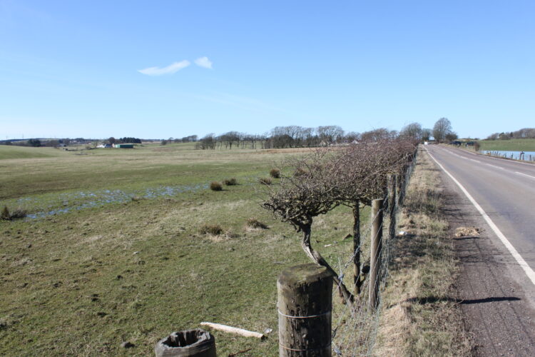
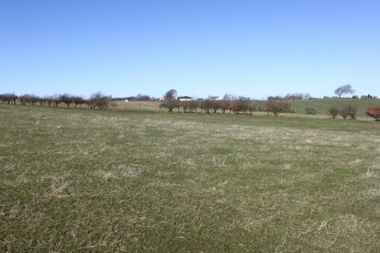
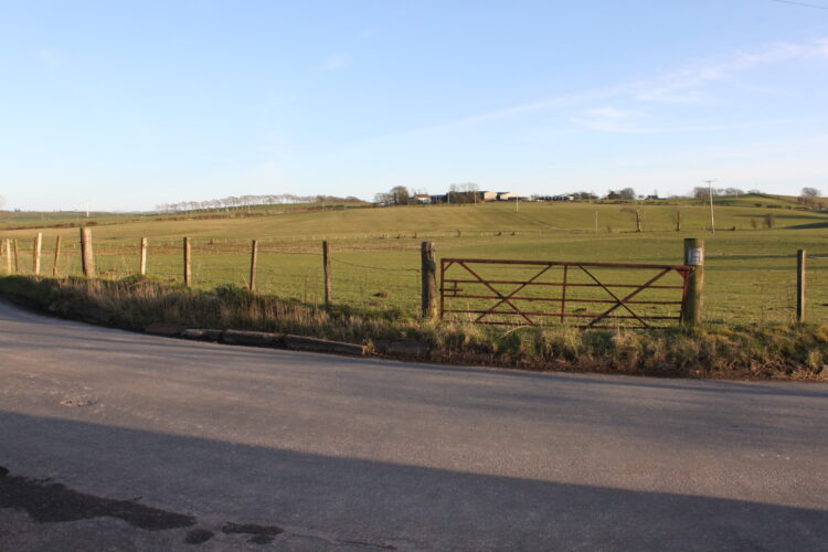
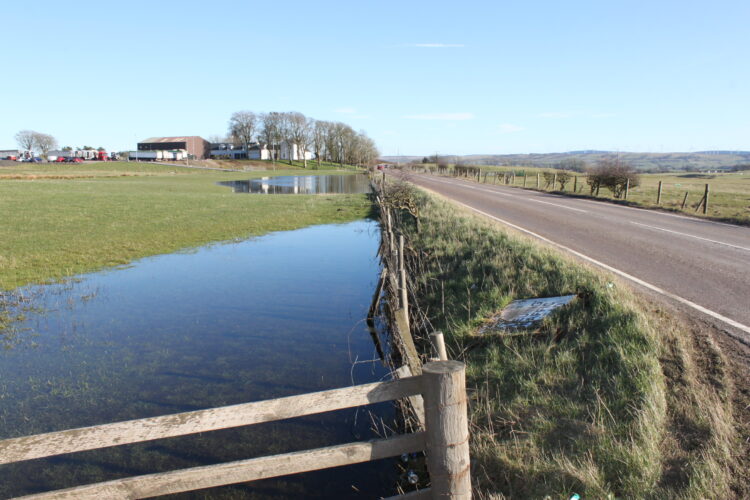
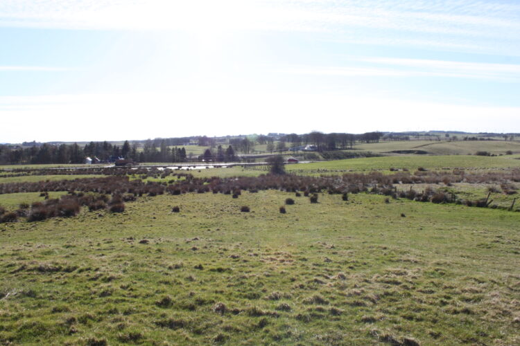
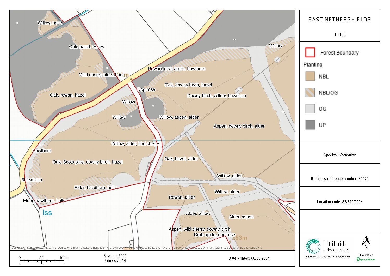
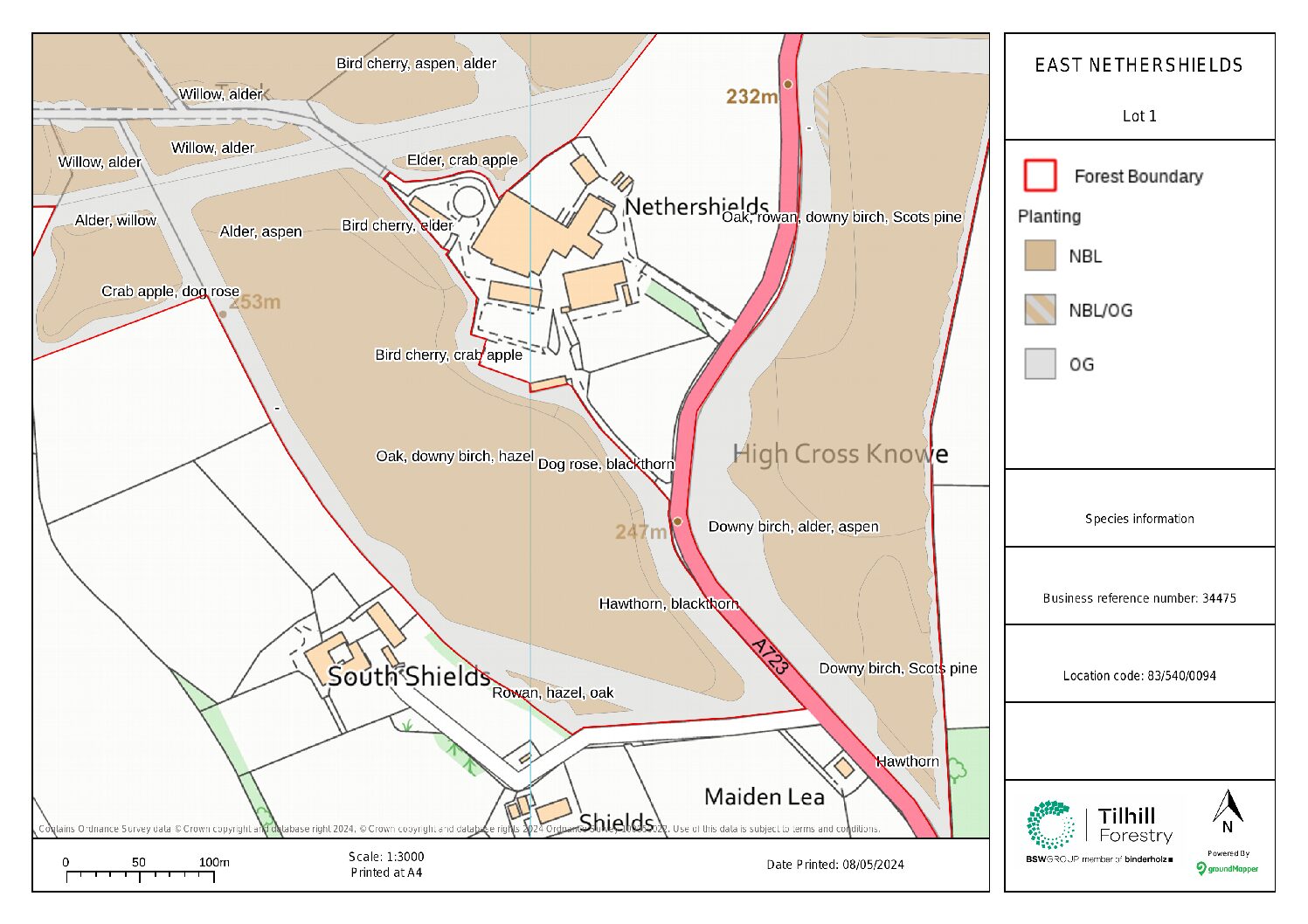
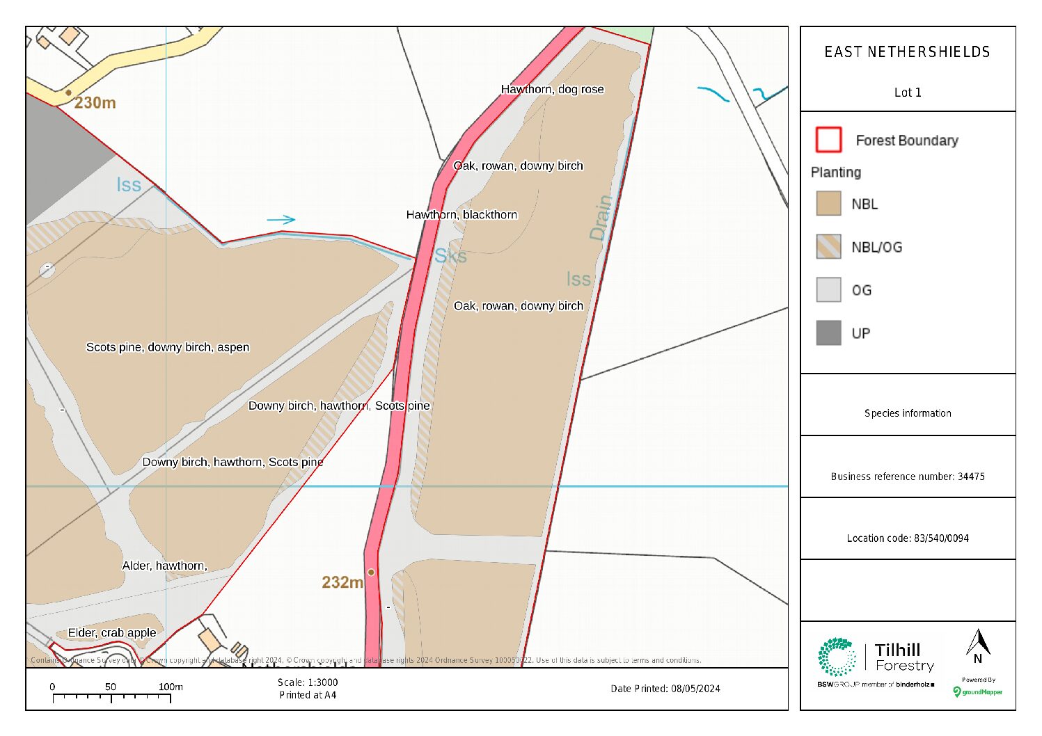
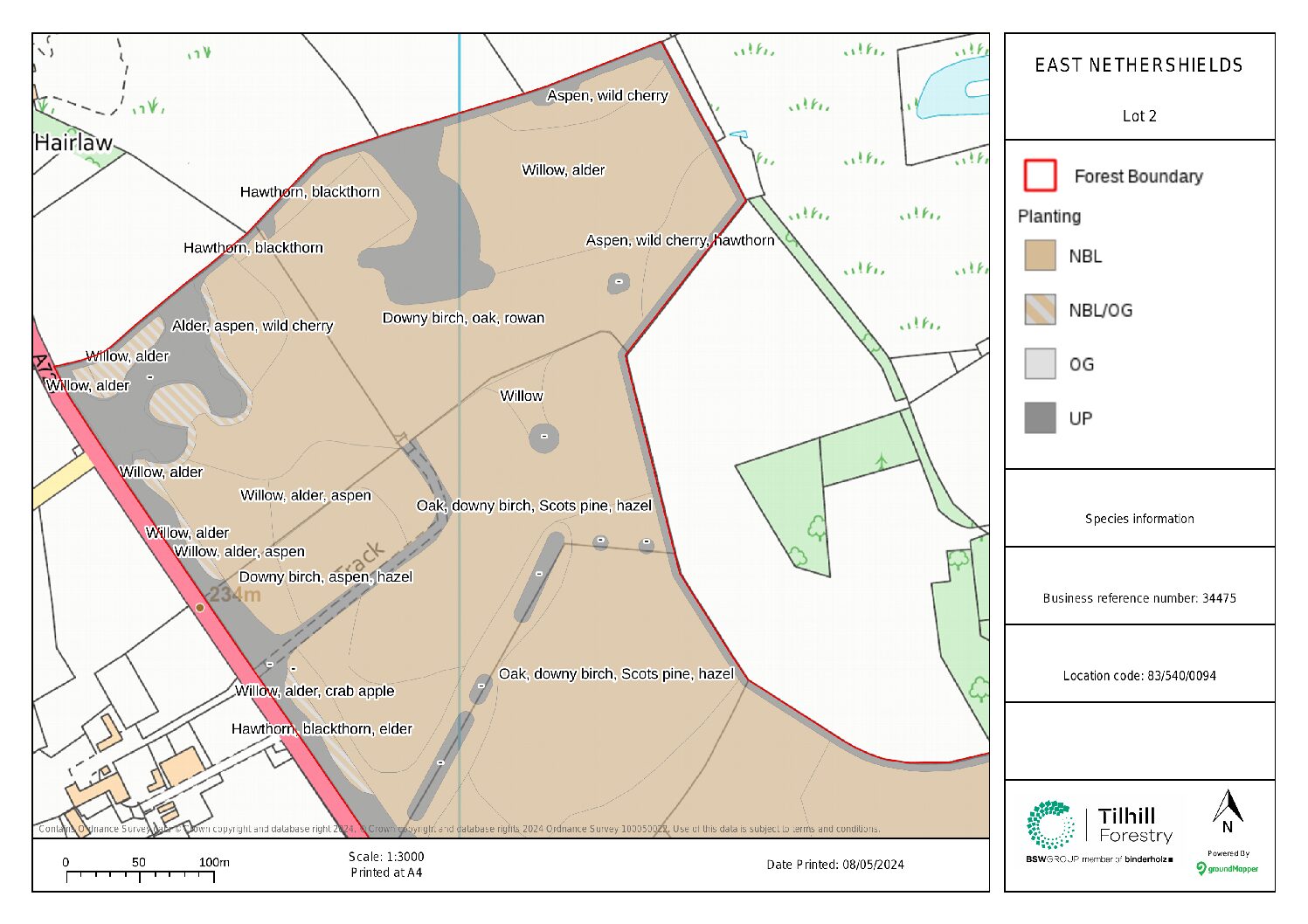
The proposed scheme will strengthen the rural character of the landscape and enclose and screen many of the man-made features in and around the site.
Please see the project details below, which have been formulated through consultation and detailed surveys.
Scottish Forestry are satisfied with our due diligence and have confirmed that the project may proceed.
The woodland establishment operations which will take place over the winter months are funded by the landowner and the Scottish Government’s Forestry Grant Scheme.
These operations will take place in the following order:
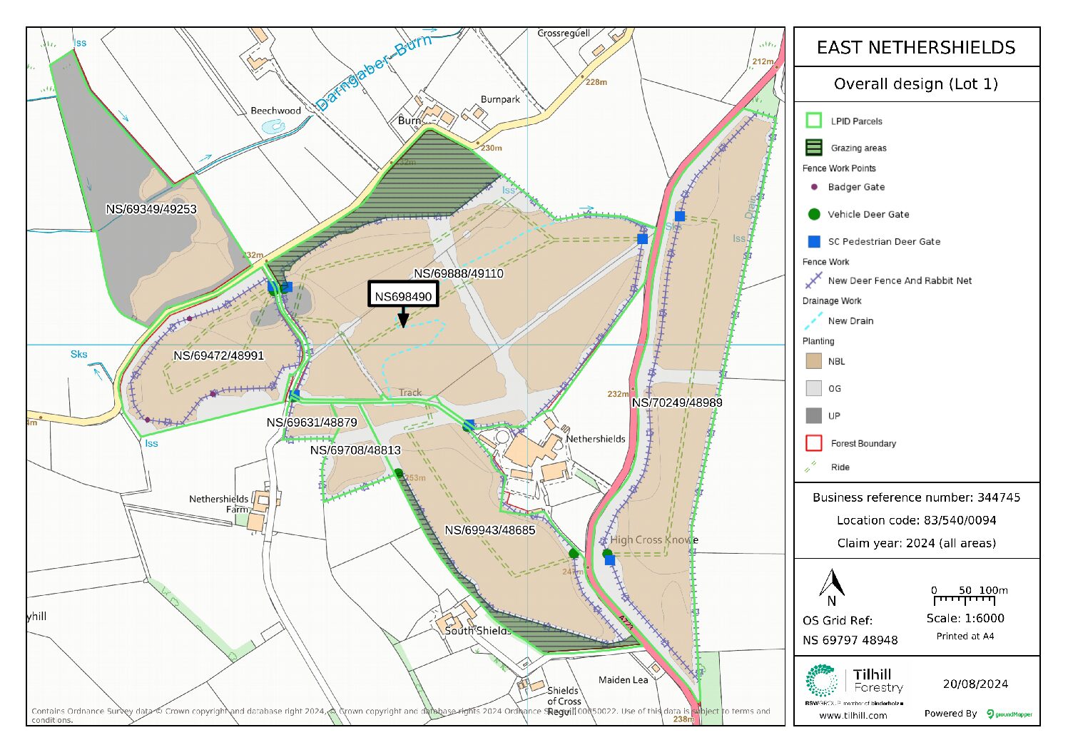
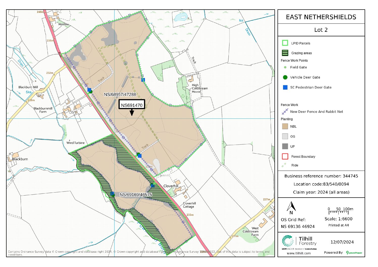
- October to January: fencing works (erect deer fence and gates, fix some stock fencing and remove redundant stock fencing).
- November: ground preparation (a tractor and an excavator will create mounds of earth into which trees will be planted).
- December to mid-February: tree planting (over 110,000 trees will be planted by our planting contractors.
What is East Nethershields Woodland Creation?
Tilhill has created a woodland creation design on behalf of our client (the landowner), whose objectives are to sequester carbon in order to mitigate climate change while bringing many other benefits including local biodiversity improvements and developing a woodland for future generations to enjoy.
Below features all the surveys alongside a set of FAQ’s to help answer any questions you may have. If you have further questions or comments please do fill out the form at the bottom of this page which will go directly to the local Forest Manager.
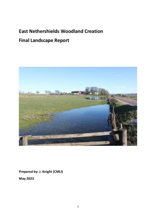
Final Landscape Report
This report was commissioned by TIlhill to undertake a landscape and visual assessment. It is based on site survey carried out on 27th March 2023 and a desk-based assessment. During the site survey visit, in the company of Tilhill staff, a number of adjoining properties were visited and meetings were held with residents at 5 adjoining properties at Beechwood, Burn and Maiden Lea adjoining Lot 1 area and Cloverhill and Cloverhill Cottage adjoining Lot 2.
View
Archaeology Survey
Mott MacDonald were commissioned by Tilhill Forestry to complete an historic environment desk-based assessment (DBA) and Walkover Survey. The DBA recommends that the planting design is modified to ensure that particular heritage assets are avoided and left in situ with appropriate buffer zones maintained. These assets will be suitably delineated prior to planting work commencing. All staff operating on site will also be comprehensively briefed on the likelihood and nature of surviving archaeological deposits through a detailed toolbox talk.
View
Ecology Survey
Max and Sian Carstairs Ecological Consultants were commissioned by Tilhill to undertake ecological assessments with the aim to establish the current ecological value of the site as a guide to how this may be affected by the proposals. In addition, opportunities for ecological enhancement of the site via woodland creation were also assessed. Field surveys and a historical desk study were undertaken.
View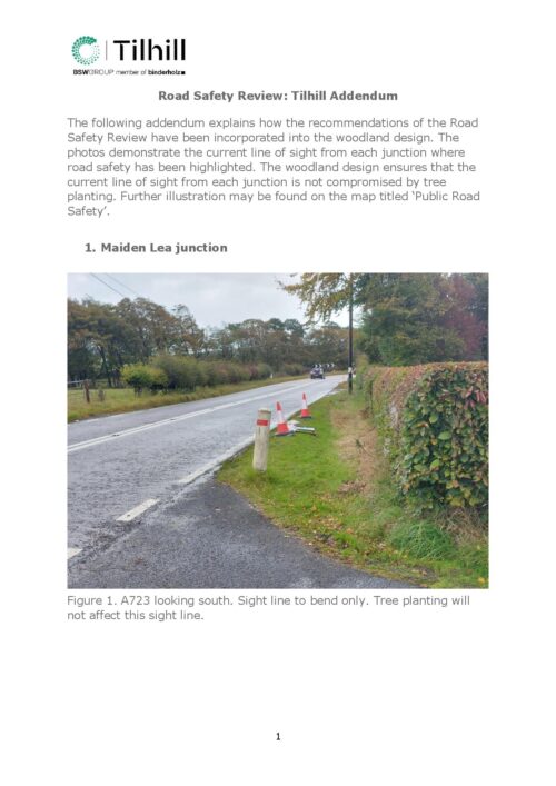
Road Review Addendum
The following addendum explains how the recommendations of the Road Safety Review have been incorporated into the woodland design. The woodland design ensures that the current line of sight from each junction is not compromised by tree planting.
View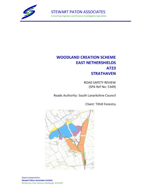
Road Safety Survey
The report has been prepared for South Lanarkshire Council as a Road Safety Review on how the visibility splays will be affected on the existing roads layout associated with a
proposed area of woodland planting surrounding Nethershields Farm on the A723 Strathaven between Burn Road and the A723. The Review was on behalf of Tilhill Forestry and requested by Byron Braithwait. The Road Safety Review was carried out during October 2022
Soil Survey
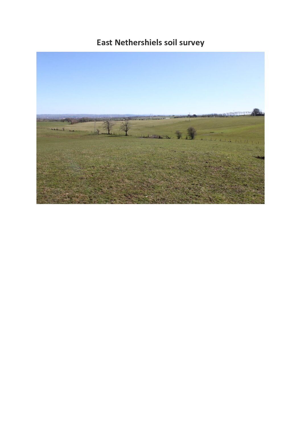
East Nethershiels largely consists of “improved” agricultural soils which appear to have been significantly modified with cultivation, drainage, and additional nutrients over time. As there are no natural vegetation boundaries with which to stratify the site, the Hutton 25k soils layer provides an accurate basis for planning species and cultivation. Discreet areas of peat over 50cm have been identified, although their value as peatland is debatable given their past modification.
View
Overshadowing Assessment (Tree Height 15m, 20m, 25m)
GIA has been appointed to provide an assessment of the potential shadows cast by the proposed design of the site at East Nethershields.
View
Overshadowing Assessment (Tree Height 40m)
GIA has been appointed to provide an assessment of the potential shadows cast by the proposed design of the site at East Nethershields.
View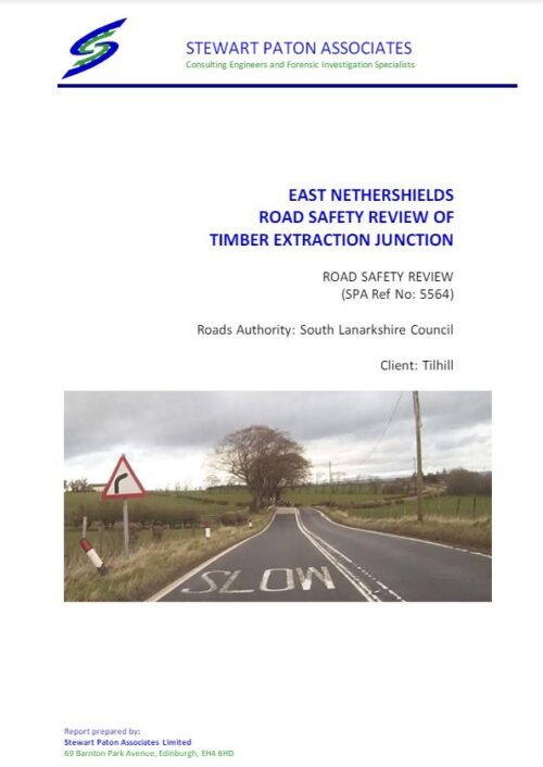
Timber Extraction Survey
Tillhill have requested a review of a potential timber extraction junction on the A723 some 4.25km north of the centre of the town of Strathaven.
View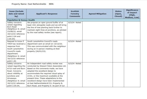
Issues Log
ViewMaps and Letter to Neighbours

Letter to Neighbours
ViewFind out more about the East Nethershields Woodland Creation Plan
What is the proposed planting design?
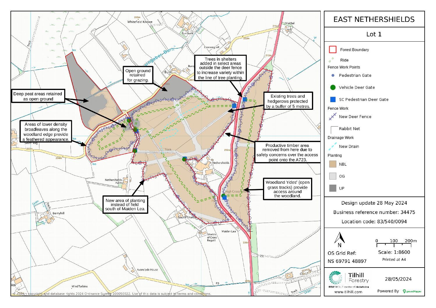
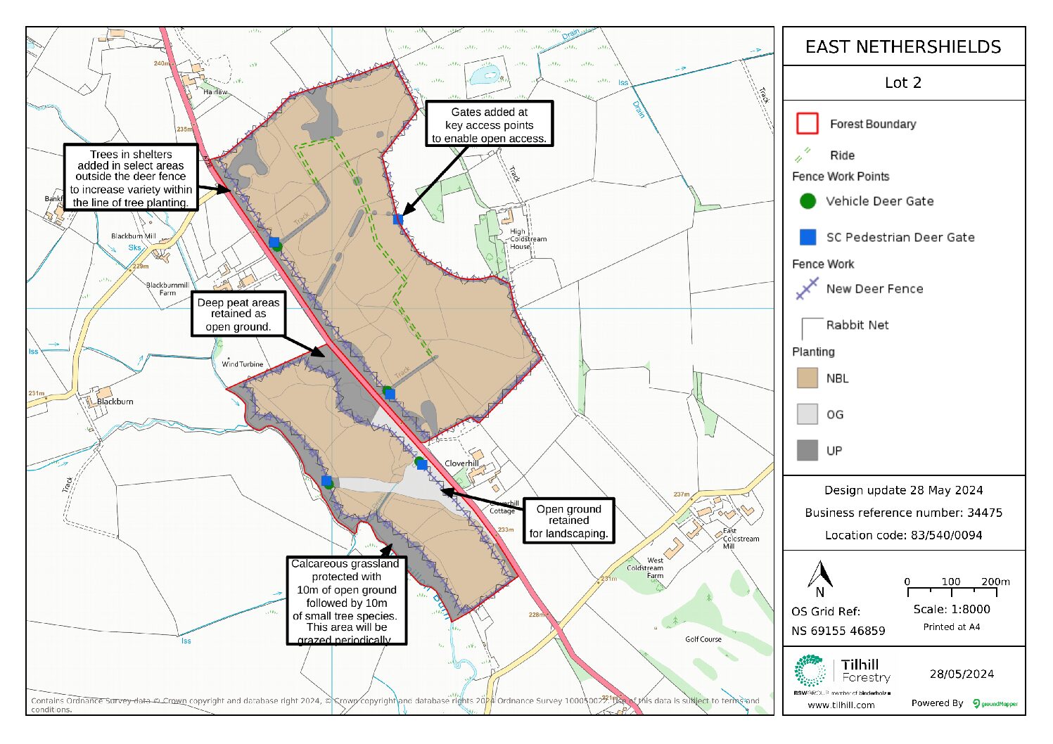
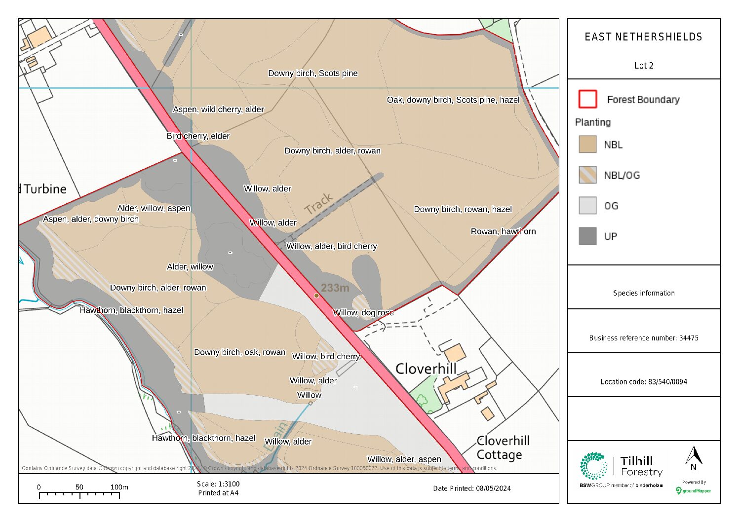
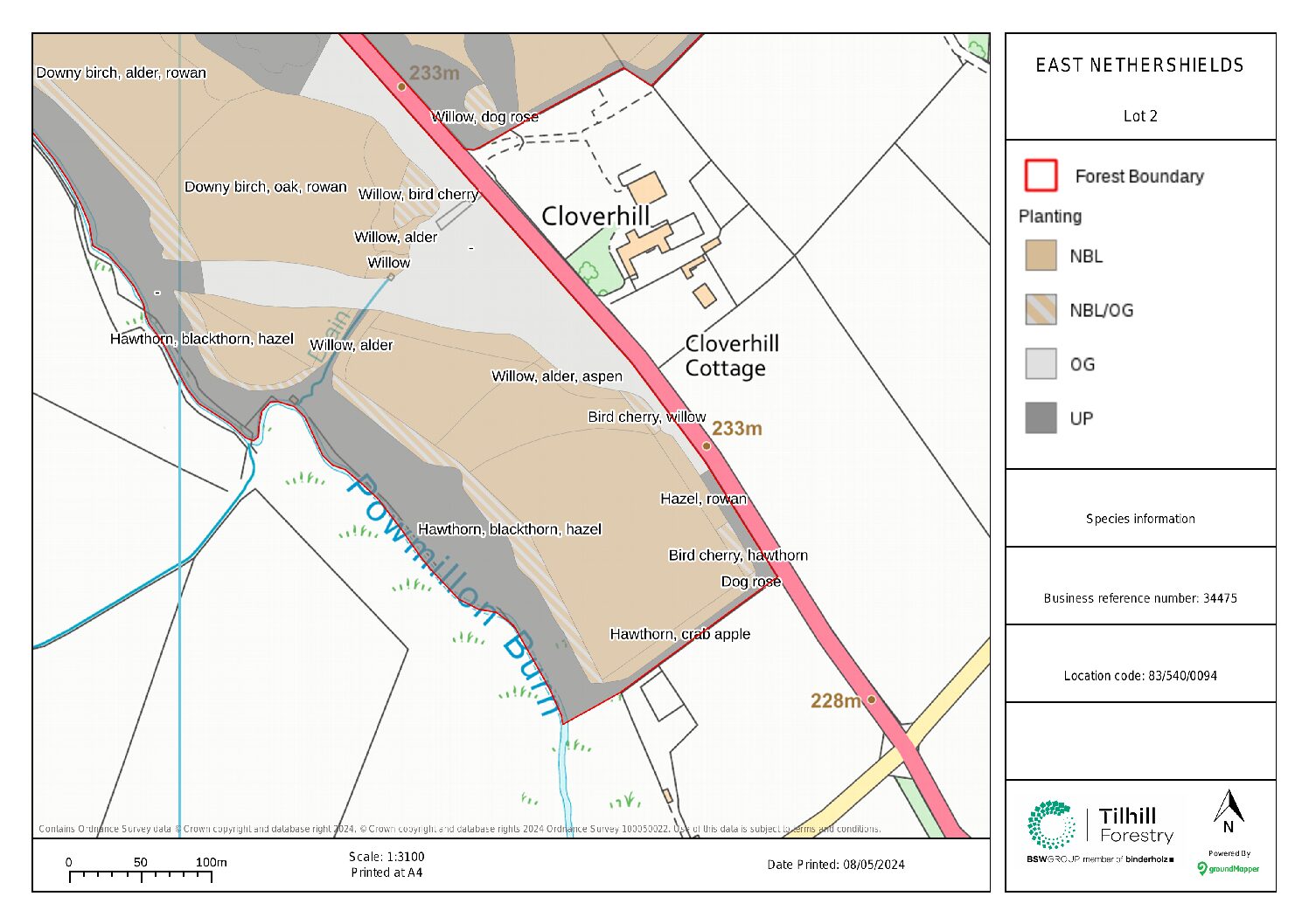
The woodland design is spread across two sites, ‘Lot 1’ and ‘Lot 2’. Both areas comprise natives tree species, such as rowan, birch, alder and oak, using smaller trees and shrubs along edges to soften the appearance of the woodland boundary.
Moisture-favouring species such as willow and alder will be used in damper areas, which will help to alleviate local flooding issues while creating a wet woodland habitat.
For further information, read the landscape report above.
How many trees will be planted?
110,000 trees will be planted.
What types of trees will be planted? And why?
The woodland will consist of native tree species (68.8 hectares), including species such as oak, rowan, birch, alder, and cherry; these trees are lacking in the landscape, and so this represents a fantastic opportunity to bring back native woodland into the landscape. It is intended to manage the woodland as a long-term carbon store, without harvesting.
How much carbon will be sequestered throughout this project?
23,500 tonnes of CO2e is set to be sequestered – equivalent to emissions from the annual energy use of approximately 2,300 homes or roughly equivalent to the annual greenhouse gas (GHG) emissions from 4,600 cars.
Why plant trees?
Trees are essential for people, wildlife and the environment. They are one of our best tools for sequestering carbon and therefore tackling the climate crisis we find ourselves in. Woodlands are particularly precious habitats for land-based wildlife, improving water quality run off, whilst preventing flooding, so planting trees can lead to substantial improvement for local biodiversity.
Woodlands are special places to visit, and they are known for their social and mental health benefits. The proximity of this proposed woodland to Chapelton and Strathaven means that these benefits may be enjoyed by the local community. Accordingly, the suitability of this site is recognised in the local woodland strategy, and it will form part of the Central Scotland Green Network, which aims to restore the landscape in this region.
Does the site offer community access?
The site is open access in accordance with the Scottish Outdoor Access Code. There will be gaps within the planting areas to create areas of open ground and the ability for visitors to walk around and enjoy the woodland.
You can find more information on access in the final landscape report above.
Species/ wildlife on site?
The proposed woodland is expected to benefit the existing bird and mammal communities. The increased structural diversity provided by woodland trees and open ground will create new habitats for wildlife, including shelter and nesting sites leading to net biodiversity gain across the site. The existing areas of deep peat and calcareous grassland within the site will be left as open ground and enhanced further by reducing grazing pressure. Tree species will be selected according to the context of each part of the site to benefit the land and ensure successful establishment.


